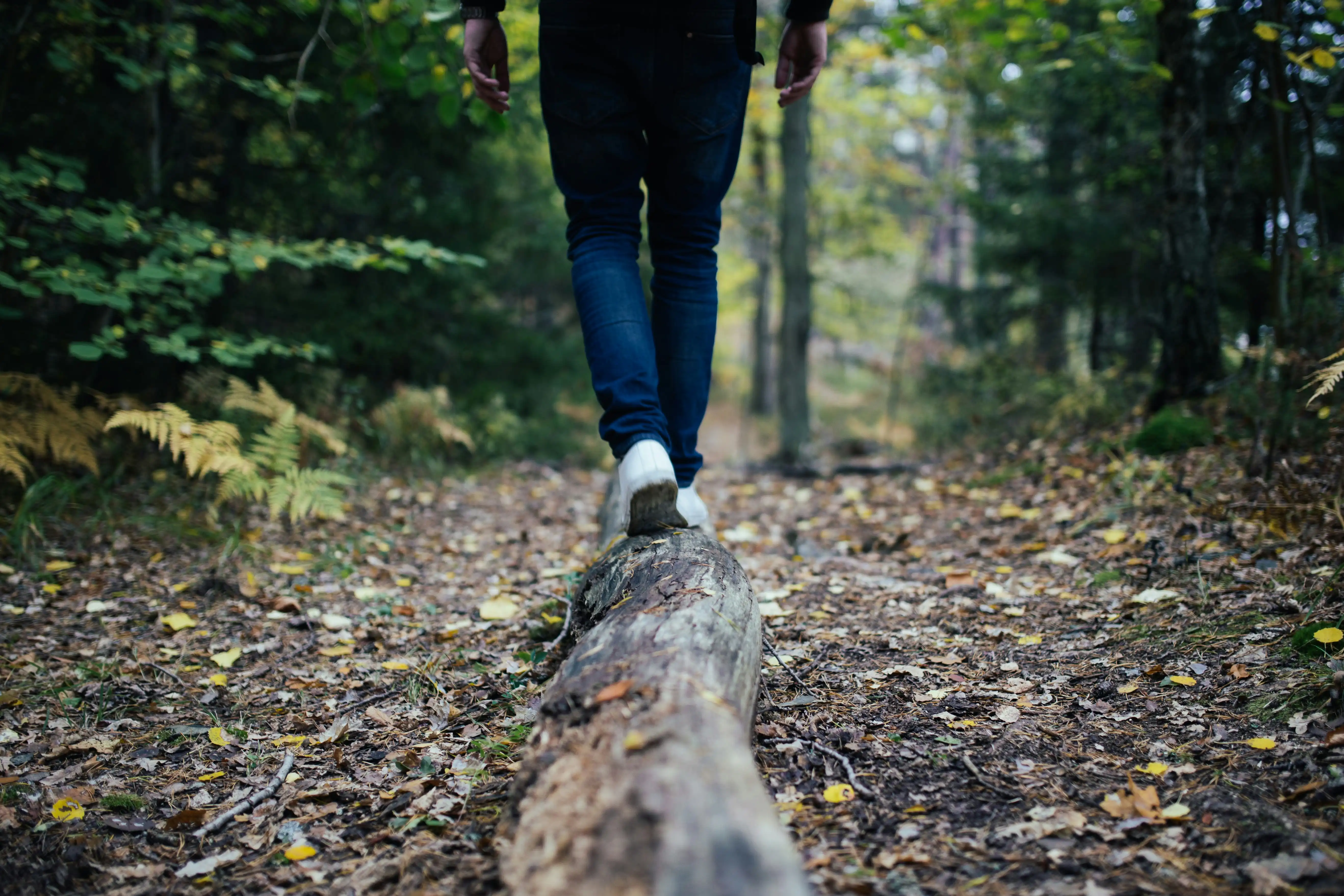
Trails in Boise, ID

From the riverfront Greenbelt to the Boise Foothills, the trail network in Boise, ID makes everyday life feel like a weekend — run, hike, or ride before work and still be home for dinner. The Ridge to Rivers system links neighborhood trailheads to classics like Military Reserve, with flowy singletrack for mountain biking and mellow routes for family hikes.
For bigger days, Bogus Basin adds lift-served biking and alpine loops just up the hill. Homeowners here prioritize recreation and convenience, this translates to Boise homes with trail access, walkable amenities, and strong four-season appeal.
Mountain Cove
~2 Mile Loop | Easy
Tucked into the Military Reserve, Mountain Cove is a gentle trail that winds along a creek and into a shaded cottonwood grove. It’s popular with families, runners, and beginner mountain bikers thanks to its wide paths and flat terrain. In spring, wildflowers add bursts of color, while in fall the trees turn golden, making it one of the most accessible year-round escapes into Boise’s foothills.
Mores Mountain Loop
~1.9 Miles Loop | Moderate
A short but rewarding hike just past Bogus Basin, Mores Mountain Loop passes through shady pine groves and open meadows dotted with Indian Paintbrush, while mica flakes shimmer along the path. Scenic overlooks reveal distant ridge lines, and the quiet atmosphere makes this loop a favorite for hikers seeking solitude without straying too far from Boise.
Stack Rock Trail
~8.2 Miles Out-And-Back | Moderate
One of Boise’s most iconic hikes, Stack Rock Trail meanders through shady pine stands, climbs gradually into the foothills, and ends at a massive boulder outcrop known as “Stack Rock.” From the top, hikers are rewarded with views of the Treasure Valley and surrounding peaks — a perfect spot for a picnic or photos. It’s a classic day hike for those wanting a mix of adventure and scenery.
Dry Creek Trail
~13.8 Miles Out-And-Back | Hard
A challenging backcountry adventure, Dry Creek Trail begins near Bogus Basin Road and descends into a lush canyon carved by red sandstone cliffs. Hikers follow the creek, often crossing it multiple times, while spotting remnants of old homesteads along the way. Towering evergreens provide shade, and wildflowers brighten the meadows in summer. The distance and terrain make it demanding, but it’s considered one of Boise’s most beautiful long treks.
Boise River Greenbelt
~29 Miles Point-To-Point, Paved | Easy
The Boise River Greenbelt is the city’s crown jewel for accessible outdoor activity. Stretching nearly 30 miles, this paved pathway follows the Boise River through downtown, past wildlife preserves, scenic parks, and cultural landmarks. It’s perfect for walking, cycling, birdwatching, or jogging — and in summer, you’ll see tubers and kayakers enjoying the water alongside you. The Greenbelt links neighborhoods, parks, and even restaurants, making it a living artery of the city’s lifestyle.
Around the Mountain
~10 Miles Loop | Moderate-Hard
Circling Bogus Basin, this high-elevation singletrack delivers a true mountain experience. The trail flows in and out of ponderosa pine forests and open ridges, offering views of both the Boise Valley and the Sawtooth Mountains on clear days. Popular with hikers and mountain bikers alike, the loop is challenging but not extreme. For those looking to spend a few hours immersed in Boise’s alpine terrain, it’s a must-do.
Table Rock Trail
~3.4 Miles Out-And-Back | Moderate-Hard
Perhaps the most iconic hike in Boise, the Table Rock Trail climbs nearly 1,000 feet to a broad sandstone plateau overlooking the entire Treasure Valley. Starting near the Old Idaho Penitentiary, the trail winds steadily upward through desert sagebrush before rewarding hikers with panoramic views. It’s a local favorite for sunrise and sunset hikes — watching the city lights come alive below is unforgettable.
Harrison Hollow Trail
~1.8 Miles Out-And-Back | Easy
Harrison Hollow is a quick and easy escape just off Bogus Basin Road, making it one of the most accessible foothill trails. The path is a mix of gravel and dirt, flanked by grassy hillsides, with just enough incline to feel like you’ve stepped out of the city into nature. Dog walkers, runners, and families love it for its convenience, and the trail connects into longer Ridge to Rivers routes if you’re up for more adventure. In spring, the hillsides turn bright green, making the short climb especially scenic.
Eagle Rock Loop
~2 Miles Loop | Moderate
Eagle Rock Loop offers a perfect sampler of Boise’s foothills in a compact hike. The trail weaves through rolling terrain with wildflower meadows in spring and sweeping views of downtown Boise year-round. On clear days, you can see all the way across the valley to the Owyhee Mountains. Its proximity to Table Rock makes it a great alternative if you want something shorter, less crowded, and equally photogenic.
Lucky Peak Loop Trail
~15 Miles Out-And-Back | Hard
This long and challenging trail near Lucky Peak Reservoir is a favorite for serious hikers and trail runners. The route steadily climbs through high desert foothills before reaching the Lucky Peak summit, home to a bird observatory. The payoff is a 360-degree view of Boise, the reservoir, and the surrounding mountains. It’s especially beautiful in late summer and fall, when golden grasses sweep across the ridgelines. Bring plenty of water and plan for a full-day trek.
Sweet Connie Trail
~1.6 Miles Out-And-Back | Easy
A foothills gem, Sweet Connie is known for its rolling hills, big-sky views, and seasonal bursts of wildflowers. The trail winds through sagebrush-dotted terrain and sandstone outcrops, giving hikers a true sense of the Boise foothill landscape. In spring, vibrant lupines and balsamroot light up the hillsides. It’s a quick but scenic option, and many locals use it as a “breather” hike or link it into larger Ridge to Rivers trail loops.