Trails in Incline Village, NV
On the pristine north shore of Lake Tahoe, Incline Village, NV is surrounded by some of the most scenic trails in the Sierra Nevada. From alpine summit climbs to tranquil lakeside strolls, the area offers hiking and biking routes for every adventurer. Mount Rose Summit Trail rewards trekkers with sweeping lake and valley vistas from one of Tahoe’s highest accessible peaks. The Tahoe Rim Trail traces the ridgeline with panoramic views that stretch across two states. Tunnel Creek Trail descends toward the crystal waters of Sand Harbor, weaving through iconic granite outcroppings and forested switchbacks. Meanwhile, the Incline Flume Trail offers a gentle, historic route with stunning views over the turquoise lake. With its blend of challenge, beauty, and accessibility, Incline Village is the perfect gateway to the outdoor heart of Lake Tahoe.
Mount Rose Summit Trail
~10.6 Miles Round Trip | Moderate-Difficult
This trailhead is accessed by driving up Mt. Rose Highway from Incline Village (~10 miles). The hike climbs roughly 2,300 feet, gaining high elevation through alpine forest and meadows. You’ll start among dense conifers, then ascend to open ridgelines with granite outcrops and sweeping vistas. At the summit, the view spans Lake Tahoe and the surrounding Sierra peaks. Because of its elevation and length, expect snow in shoulder seasons and rapidly changing weather.
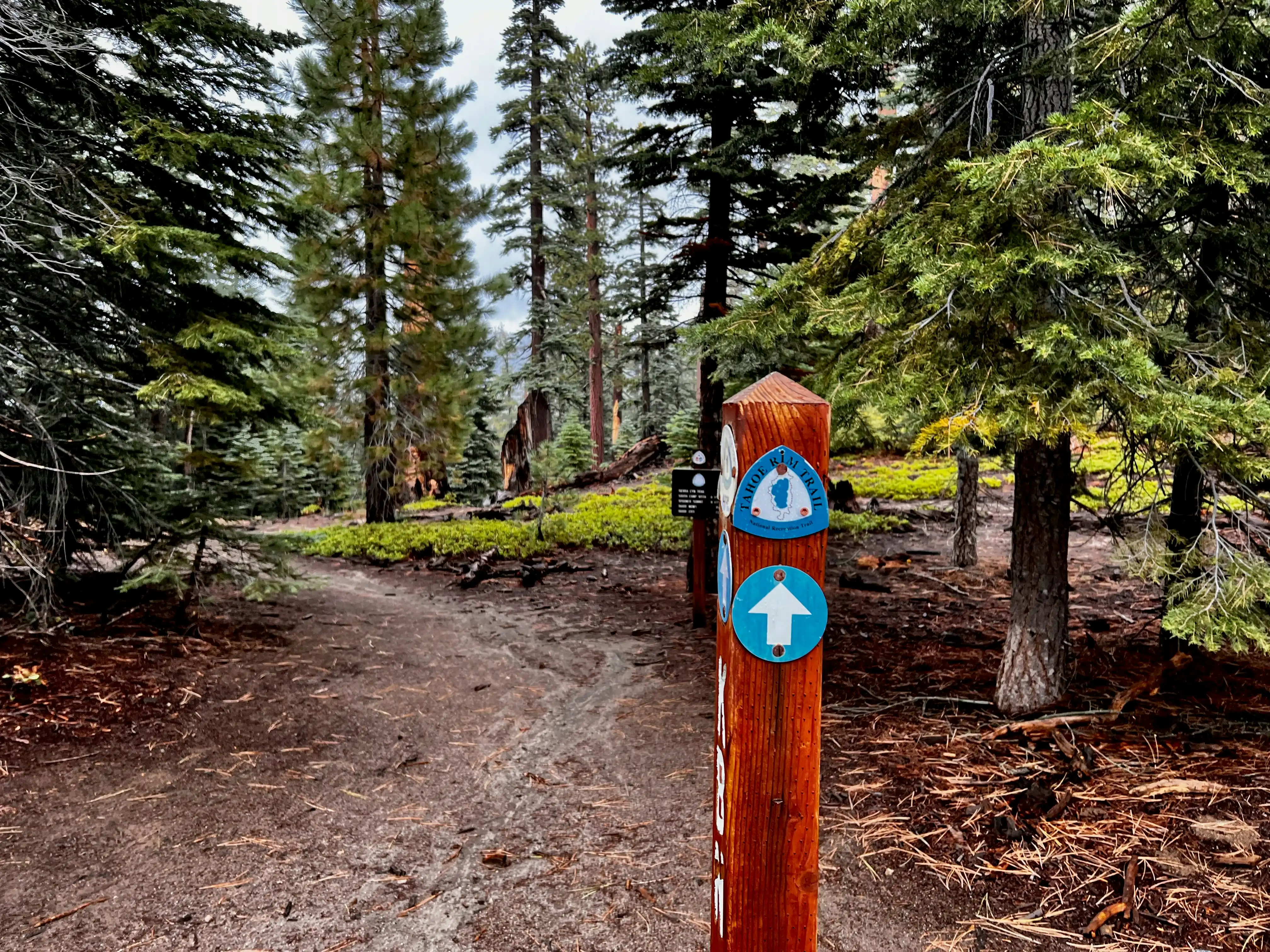
Tahoe Rim Trail (Segment via Rose Knob & Allison Ridge toward Relay Peak)
~6.3 Miles | Moderate
Starting from trailheads near Tahoe Meadows, this segment offers moderate challenge: rolling climbs, forested paths, and ridge line traverses. Terrain is mixed: dirt singletrack, rocky patches, and open sky views. The proximity is quite good—about a 20-minute drive from Incline Village depending on the access point. On clear days, you’ll be rewarded with broad views of Lake Tahoe, forests, and peaks.
Tunnel Creek Trail to Monkey Rock
~4.7 Miles Out & Back | Moderate
This hike begins near Tunnel Creek Café, only a short drive from Incline Village. The path starts gently, then climbs via old service roads/forest paths. You’ll pass woods, then pop out near Monkey Rock, a large granite formation with views over Tahoe and Crystal Bay. The climb gets steeper toward the rock, with some rocky footing and switchbacks. Great for photography and rewarding views without having to do a full summit hike.
Incline Flume Trail
~3.8 Miles Out & Back | Easy
A mostly easy, family-friendly hike, Incline Flume Trail's proximity is excellent—it starts close to Incline Village. The trail follows old flume channels, forest-lined paths, and sometimes traverses above streams or partially exposed rock. The terrain is gentle in many parts, though there are a few sections with moderate incline and rocky footing. Ideal for hikers who want scenic Tahoe views with less exertion.
Stateline Fire Lookout Trail
~1.7 Miles Round Trip | Easy
Just about 1.7 miles round trip, this is one of the easiest hikes in the area. The trail begins with a paved forest road which in summer is accessible to many, in winter it gets snowy. It climbs modestly to a former fire lookout site offering panoramic views over the lake, including both California and Nevada sides. Terrain is forested early on, then opens to exposed vantage points; good for beginners, families, or anyone wanting a shorter walk with a big payoff.
Incline Village Bike Path
~7 Miles | Easy
The Incline Village Bike Path is a mostly paved, non-motorized trail running through the town of Incline Village. It connects neighborhoods, shops, schools, and public spaces including the Rec Center. Because it’s asphalt and fairly flat, it’s ideal for casual rides, family outings, e-bikes, road bikes, strollers, or roller skating. It’s right in town, so proximity is excellent — no long drive required.